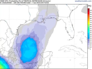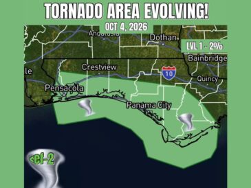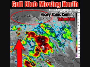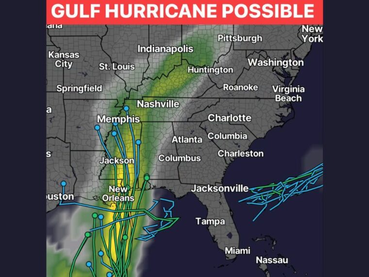
CHARLOTTE, NC — A hurricane looks increasingly likely to form in the Gulf over the next few days before tracking north toward the central Gulf Coast. While the center of circulation is expected to stay west of the Carolinas, a surge of tropical moisture could still reach the region. Rain is currently timed to increase Saturday evening, continuing overnight and into Sunday. Along the Gulf Coast, the system could become a significant hurricane.
Model Tracks Cluster Toward Louisiana and Mississippi
Most model tracks bring the system north through the central Gulf toward the Louisiana and Mississippi coast near New Orleans. Several tracks then continue inland through Mississippi near Jackson toward Memphis and western Tennessee.
A few tracks bend farther west toward the Houston area, while others stall or loop offshore south of the Florida Panhandle. This spread shows that the exact landfall point is still uncertain.
Heaviest Rain Focuses on Louisiana, Mississippi, and Alabama
The projected rain shield is heaviest across southeast Louisiana and Mississippi, closest to the expected track. Rain then spreads northeast across Alabama and into Tennessee and Kentucky.
The moisture band continues into West Virginia and toward Pittsburgh as the remnants move inland. Areas along this path could see periods of heavy rain late in the weekend.
Carolinas Could See Indirect Impacts From Tropical Moisture
The Carolinas are expected to stay east of the storm’s center, but tropical moisture could still reach Charlotte, Columbia, and surrounding areas. Rain is expected to increase Saturday evening and continue through Saturday night into Sunday.
How much rain falls will depend heavily on the storm’s final track and strength. A track closer to the Carolinas would mean more rain, while a farther west track would mean less.
Gulf Coast Residents Should Prepare for a Significant Hurricane
Residents along the Gulf Coast, especially in Louisiana and Mississippi, should prepare for the possibility of a significant hurricane. Strong winds, heavy rain, and storm surge could affect coastal areas depending on the final track.
Now is the time to review hurricane plans, check supplies, and share forecast information with family and friends who may be affected. Following official guidance from local emergency officials is important as the storm approaches.
Track and Rainfall Details Will Become Clearer This Week
Forecasters will be working to narrow down the track and rainfall amounts over the next few days. The system’s strength and exact path will determine how far its impacts reach.
Residents across the Gulf Coast and Southeast should keep checking updates as the forecast evolves. Changes in timing and track are likely as the system develops.
Stay with bananatreenews.today for the latest weather updates and local forecast coverage.