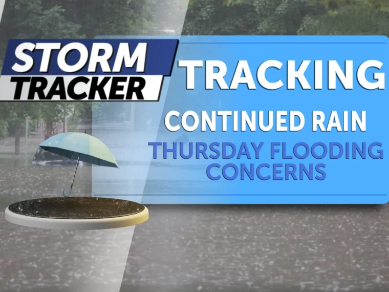
KANSAS CITY, MO — Rain continued Thursday across northwest Missouri, and forecasters said the wet pattern could keep flooding concerns elevated through the day. The main worry is not just how much rain falls in one burst, but how repeated showers keep adding water to already saturated ground.
That kind of setup can make roads pond quickly, raise water in ditches and creeks, and create a renewed hazard in areas that were already dealing with runoff. While the weather is not being described as an all-out emergency everywhere, the combination of persistent rain and lingering moisture means conditions may change fast in the places most prone to flooding.
Why the ground is already primed for runoff
The biggest reason forecasters are watching closely is the amount of moisture that has already built up. When soil is soaked, new rain has fewer places to go, so more of it runs off into streams, low spots, and drainage systems.
That is especially important in rural parts of northwest Missouri, where small creeks and farm roads can become problems sooner than paved streets. Even lighter bursts can become a concern when they arrive over terrain that is already wet from earlier rain.
Continued showers also reduce how quickly water can recede between rounds. Instead of getting a clean break, communities may see a cycle of rainfall, slow drainage, and then more rainfall before the ground gets a chance to recover.
Where flooding risks are most likely to show up
Low-lying spots are the first places likely to feel the impact. Water can collect in dips along roads, underpasses, yards, fields, and other areas that struggle to drain efficiently when rain keeps coming.
Creeks and small streams are another concern because they can respond more quickly than larger rivers. Forecasters also noted that runoff can push water into places that may not flood during a normal rain, especially when the rainfall comes in repeated waves.
Travel can become more difficult even before water reaches a full flood stage. Drivers may encounter standing water, reduced visibility, or slick pavement, and those conditions can be enough to make routine trips slower and less safe.
Thursday’s rain could extend the wet pattern
The concern Thursday is not only the current rain but the possibility that it prolongs the overall wet stretch. If showers continue in the same areas, the flooding threat can remain active longer than it would after a single storm.
That is why forecasters are emphasizing patience and caution in the hours ahead. A brief lull does not necessarily mean the risk is over if more rain follows soon after, especially where water is already standing or moving slowly.
Conditions like this can also make it harder for crews and residents to judge how quickly water will rise. When the weather keeps cycling, the situation can shift from manageable to troublesome with little warning.
What residents should watch for as the rain continues
People in the region should be alert for water on roads, rising ditches, and any changes near creeks or other drainage channels. Even shallow water can be dangerous if it hides roadway damage or becomes deeper than it looks.
It is also smart to pay attention to travel routes that tend to flood first. Some roads can become impassable before nearby neighborhoods see any major problems, which means a familiar route may not remain safe for the entire day.
Households in vulnerable spots should keep an eye on the forecast and be ready to adjust plans if rainfall intensifies. The key message from forecasters is that the rain is not just a nuisance; in the wrong place, it can turn into a fast-moving local flooding issue.
How the weather setup affects the broader area
Even when flooding is limited to pockets, the impact can spread well beyond those exact locations. Delays, detours, and slower traffic often ripple outward when roads become slick or partially covered with water.
Farm operations and outdoor work can also be disrupted when fields stay too wet to handle easily. Repeated rain can leave conditions unsettled for longer than expected, which makes planning harder for residents who need a dry window to get things done.
For now, the important factor is that the threat comes from persistence. One storm may pass quickly, but a steady return of rain can keep northwest Missouri dealing with flooding concerns well into the day.