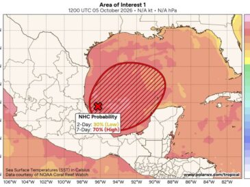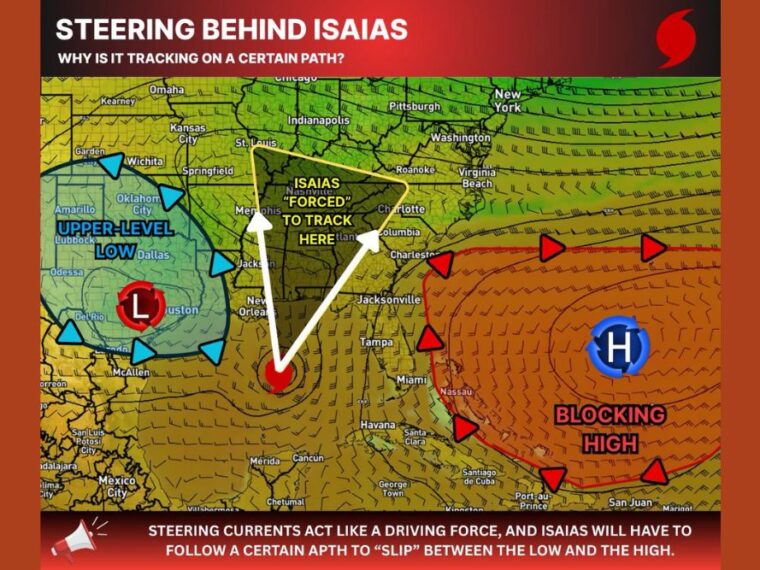
MOBILE, AL — Isaias is expected to follow a defined path north thanks to two major steering features in the upper atmosphere. An upper-level low over Texas and a strong blocking high over the western Atlantic are creating a funneling effect that leaves the storm little choice in direction. That setup should also keep Isaias moving steadily rather than stalling after landfall. Forecast confidence remains low on strength, though some type of hurricane is expected to develop.
Upper-Level Low Spins Over Texas to the West
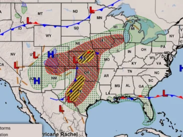
To the west of Isaias, an upper-level low is spinning counterclockwise over Texas. The low is centered near the Houston and Dallas region, with its influence stretching from west Texas into Oklahoma.
This low helps pull and steer the storm from the west side. Its position plays a key role in keeping Isaias from drifting toward Texas or western Louisiana.
Blocking High Over the Atlantic Holds Firm to the East
To the east, a strong blocking high is spinning clockwise over the western Atlantic near the Bahamas. This high extends toward Florida and the Southeast coast.
The high prevents Isaias from turning east toward Florida too early. Squeezed between the low and the high, the storm is funneled north through the central Gulf.
Funnel Zone Stretches From the Gulf Coast to the Tennessee Valley
The steering pattern directs Isaias into a zone from the central Gulf Coast north through Mississippi, Alabama, and Georgia. That corridor continues into Tennessee and Kentucky, between Memphis and Charlotte.
Cities within this path include New Orleans, Jackson, Atlanta, Nashville, and Columbia. The steering setup should keep the storm progressive, helping limit prolonged flooding from a stalled system.
Upper-Level Divergence Supports the Storm
Plenty of divergence aloft, where air spreads out at higher levels, will be available for Isaias to work with. This helps fan out the storm’s outflow and draws more warm, humid air into its lower levels.
That process can help the storm maintain or build strength as it moves north. It is one of the factors that supports hurricane development in the coming days.
Wind Shear Could Decide How Strong Isaias Becomes
Wind shear remains the biggest question mark for Isaias. Stronger shear could limit how much the storm strengthens before landfall, while weaker shear would allow more intensification.
Some type of hurricane is currently expected, but its exact strength is a wild card. Gulf Coast residents from Louisiana to the Florida Panhandle should keep checking updates as the system develops.
Stay with bananatreenews.today for the latest weather updates and local forecast coverage.