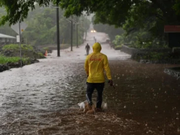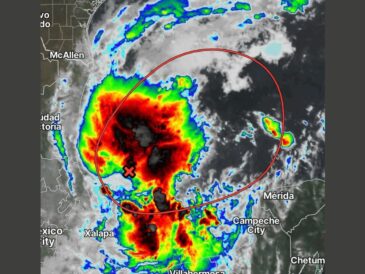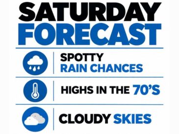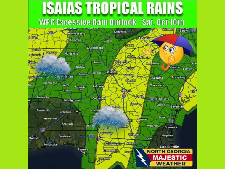
ATLANTA, GA — The latest Weather Prediction Center outlook for Saturday, October 10, shows a slight risk of localized flooding across parts of North Georgia from Tropical Storm Isaias. Rainfall will vary widely depending on where squall lines set up, so not every location will see the same totals. Saturday is looking wet, with gusty winds possible in some of the squalls. Drier weather is expected to return on Sunday.
Slight Flood Risk Stretches Through Central and North Georgia
The slight risk area for excessive rainfall runs in a corridor through central and North Georgia. Atlanta’s eastern side, Athens, Gainesville, Madison, Eatonton, and Toccoa all fall within this zone.
Farther south, the slight risk includes Macon, Dublin, Eastman, and Americus. The corridor continues north into upstate South Carolina near Anderson and Greenwood, and into western North Carolina near Franklin and Asheville.
South Georgia and the Florida Big Bend Also in the Slight Risk
The slight risk zone extends south through southwest Georgia, including Bainbridge, Moultrie, and Valdosta. It continues into the Florida Big Bend near Tallahassee, Crawfordville, Carrabelle, and Perry.
A separate slight risk area appears over western Tennessee and northern Mississippi. A small portion of the South Carolina coast near Charleston is also included.
Marginal Risk Covers Alabama and Surrounding Areas
Much of Alabama falls under a marginal risk for flooding, including Birmingham, Montgomery, Huntsville, and Tuscaloosa. Rome, Columbus, and LaGrange in western Georgia are also in the marginal category.
Augusta, Savannah, Statesboro, and Waycross in eastern Georgia also fall in the marginal zone. Flooding in these areas is possible but less likely than in the slight risk corridor.
Squall Lines Will Decide Who Gets the Most Rain
Rain totals will depend heavily on how squall lines develop and move through the region. Some areas will see much more rain than others, even with high rain chances everywhere.
Locations hit by repeated squalls face the greatest flood risk. Gusty winds are also possible as squalls pass through Saturday.
Weak Tornado Threat Depends on Isaias’ Track
A weak tornado threat is possible Saturday, but it will depend greatly on the track of the storm’s center. Areas east of the center typically face the highest risk.
Residents should have a way to receive warnings and avoid flooded roads Saturday. Conditions are expected to dry out on Sunday as Isaias moves away from the region.
Stay with bananatreenews.today for the latest weather updates and local forecast coverage.