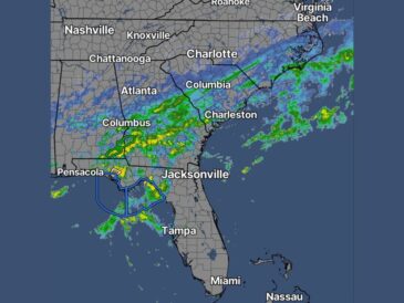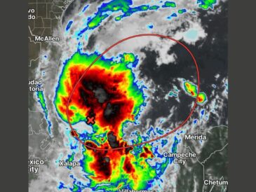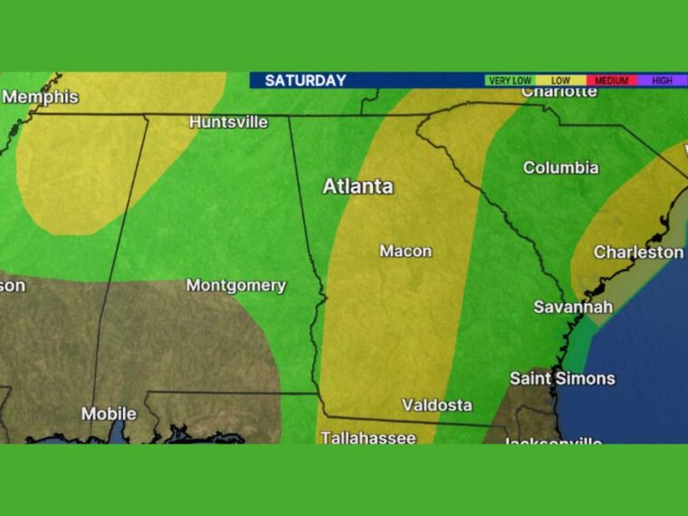
ATLANTA, GA — Heavy rain and possible flooding are expected to be the most widespread local impacts from Isaias as it moves inland this weekend. Flooding will be most likely where the heaviest rain bands set up and repeat over the same areas. A flood threat is in place Saturday across much of Georgia, Alabama, Tennessee, and the Carolinas. Tornadoes are also possible in rain bands on the east side of the storm.
Low Flood Threat Stretches Through Central and Eastern Georgia
A low-level flood threat runs in a band from near Tallahassee and Valdosta north through central and eastern Georgia. This zone passes east of Macon and continues toward the eastern side of the Atlanta area.
The band extends northeast toward upstate South Carolina and the Charlotte area. Heavy rain bands setting up along this corridor could cause localized flooding on Saturday.
Memphis and Western Tennessee Also Face a Low Flood Threat
A second low flood threat area covers parts of northern Mississippi and western Tennessee. Memphis falls within this zone, which extends northeast toward the Nashville area.
Rain bands wrapping around the storm as it moves inland could bring heavy downpours to this region. Low-lying areas and spots with poor drainage are most prone to flooding.
Coastal Carolinas Near Charleston Fall Into the Flood Zone
A third low flood threat area stretches along the coast of South Carolina and southeastern North Carolina. Charleston and areas toward Wilmington are included in this zone.
Moisture streaming north on the east side of the storm could bring heavy rain to the coast. Coastal flooding concerns could increase if heavy rain coincides with high tide.
Very Low Flood Threat Covers Much of Alabama and South Carolina
Much of Alabama, including Huntsville and Montgomery, falls under a very low flood threat Saturday. Columbia, Savannah, and Saint Simons also sit within the very low category.
Even in very low threat areas, brief heavy downpours could cause ponding on roads. Conditions may change as the storm’s final track becomes clearer.
Tornadoes Possible on the East Side of Isaias
With any landfalling hurricane, tornadoes are possible in rain bands to the right of the center. In this case, the east side of Isaias carries the highest tornado risk.
Residents in Georgia, Alabama, and the Carolinas should have a reliable way to receive warnings this weekend. Tornadoes in tropical rain bands can form quickly and with little warning.
Stay with bananatreenews.today for the latest weather updates and local forecast coverage.