CHICAGO, IL — Chicago is headed into a wet midweek stretch, with widespread rain expected across Chicagoland on Wednesday and Thursday. Forecasters say the system should bring a steady soaking rather than a quick burst, making umbrellas and slower travel a good bet for the next two days.
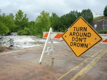
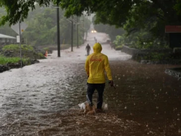
The National Weather Service says the area could pick up between 1.5 and 3 inches of rain through Thursday night. That amount is enough to create water issues in places that drain poorly, even though widespread severe flooding is not the main concern.
Flood risk rises Thursday, but major flooding is not expected
National Weather Service meteorologist Gino Izzi said minor flooding is possible for some rivers, but the current setup does not point to major flooding. The agency has placed the area under an elevated flood risk for Thursday, which is the day the rainfall concern looks highest.
A hazardous weather outlook is also in effect for Cook County and northeast Illinois. That alert signals that residents should stay aware of the rain and any local water issues, especially in spots that usually respond quickly when several inches of rain fall over a short period.
For now, the message from forecasters is caution rather than alarm. The rain is expected to be disruptive and soaking, but the available forecast does not suggest a widespread flood emergency across the region.
Why the rain is arriving now: tropical air from Hurricane Polo
Izzi said Chicago’s rain is being fueled by a weather system moving out of the Rocky Mountains that has become infused with tropical air from Hurricane Polo. That combination is helping drive the persistent moisture that will spread over the region for much of the middle of the week.
The tropical connection is unusual because the system is not only drawing from nearby weather patterns, but also tapping moisture tied to a Pacific hurricane. That extra humidity is what is expected to make the rain feel more like a long soaking event than a brief storm line.
Forecasters say the tropical moisture associated with Polo is not staying confined to one area. It is expected to spread north far enough to reach Wisconsin, showing how far the system’s remnants can influence weather away from the original storm track.
Hurricane Polo weakened after Mexico landfall but still drives rain far north
Hurricane Polo intensified to a Category 5 Pacific system before coming ashore in Mexico’s Baja California Sur Monday night as a Category 1 hurricane, according to the National Hurricane Center. The storm dissipated on Tuesday after landfall.
Even after breaking apart, Polo’s moisture remains important to the weather picture in the United States. The storm is dumping rain on the southwestern states, and its warm, tropical air is being carried well beyond the immediate landfall area.
That lingering moisture is part of why forecasters in Chicago are watching a system that formed far from Illinois. The rain here is not from Polo directly hitting the Midwest, but from its moisture being pulled into another weather pattern.
What Chicago can expect after the rain ends
After the two days of rain, Izzi said Chicago is expected to move into roughly two abnormally dry weeks. That does not mean the city will avoid rain entirely, but it does point to a stretch where rainfall should come in below normal overall.
The forecast is not calling for a completely dry fall. Instead, the expectation is for precipitation to trend lower than average during the first few weeks of October, even if isolated rain events still show up.
For residents, that means this midweek soaking may stand out as one of the more notable rain events in the near term. Once it passes, attention will shift from ponding and river concerns to a drier pattern that could shape the start of the month.
How the first October forecast is shaping up for the region
The early-October pattern matters because the wet stretch is expected to be followed by a longer dry period rather than another immediate round of storms. That contrast makes this forecast particularly important for planning, especially for anyone with outdoor work, travel, or school routines.
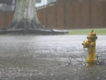
While the rainfall amounts are not extreme by themselves, several inches over two days can still add up quickly in urban and low-lying areas. Chicago’s storm drains, rivers, and flood-prone spots will be the main places to watch as the rain moves through.
For now, the National Weather Service is signaling a clear transition: a damp and potentially messy midweek, then a warmer tropical influence fading away and a drier-than-normal start to the rest of October.