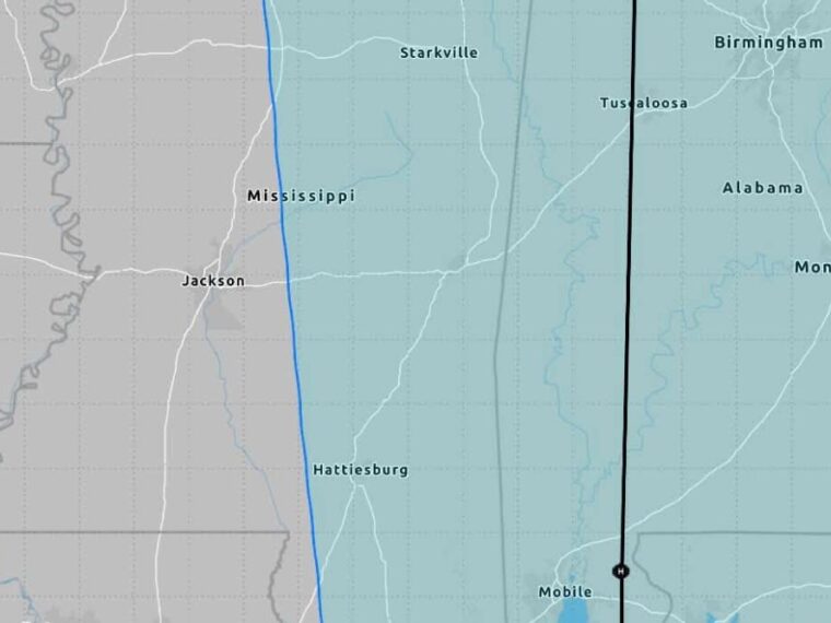
HATTIESBURG, MS — The latest data shows Hurricane Isaias trending farther east, with only the eastern half of Mississippi now remaining in the forecast cone. Models are shifting east in response to westerly wind shear, placing landfall between Biloxi and Destin. Landfall is expected Friday evening or Friday night as a weakening hurricane. Windy and rainy conditions are expected at times across inland Mississippi Friday night and Saturday, with brief tornadoes possible.
Western Mississippi Drops Out of the Forecast Cone
Only the eastern half of Mississippi remains inside the forecast cone after the latest updates. Areas near Hattiesburg sit close to the western edge, while Jackson now falls outside the cone.
The cone stretches east across Alabama and into western Georgia. The projected center track runs north from near Mobile toward Tuscaloosa and Birmingham.
Models Shift East Due to Westerly Wind Shear
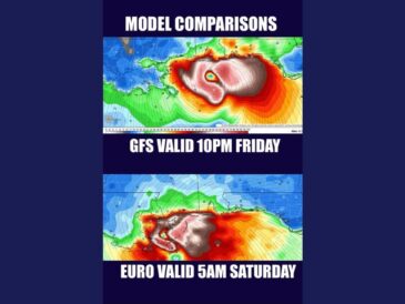
Forecast models have been shifting eastward over the past 24 hours. The change is being driven by westerly wind shear pushing against the storm as it approaches the coast.
Spaghetti tracking models are now tightly grouped and in general agreement with AI weather models. The AI models have favored an eastward track from the beginning, and Hurricane Hunter data has helped refine the forecast.
Landfall Expected Between Biloxi and Destin Friday Night
Numerical models point to landfall between Biloxi and Destin, with a continued eastward bias in the trend. That range includes the Mississippi Gulf Coast, coastal Alabama near Mobile, and the western Florida Panhandle.
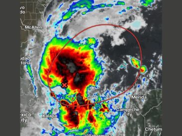
Isaias is expected to make landfall Friday evening or night as a weakening hurricane. The storm’s projected path curves out of the Bay of Campeche before turning north toward the coast.
Wind Field Expands Over Several Hundred Miles After Landfall
After landfall, Isaias is expected to rapidly flatten out and spread its wind field over several hundred miles. That means gusty winds could be felt far from the storm’s center.
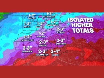
Inland Mississippi could see windy and rainy weather at times Friday night and Saturday. Spaghetti models show the remnants moving north toward Memphis and western Tennessee afterward.
Brief Tornadoes Possible Near the Alabama Line and Gulf Coast
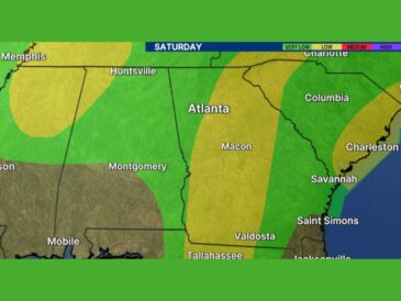
Brief tornadoes are possible as Isaias moves inland, especially near the Alabama state line and closer to the Gulf. Areas on the eastern side of the storm typically face the highest tornado risk.
Residents across eastern Mississippi should have a way to receive warnings Friday night and Saturday. Securing outdoor items and preparing for possible power outages is recommended ahead of the storm.
Stay with bananatreenews.today for the latest weather updates and local forecast coverage.