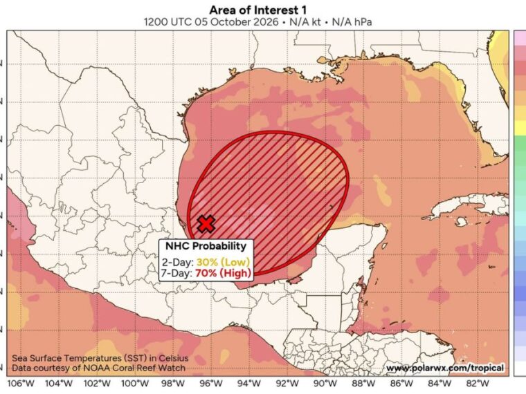
NEW ORLEANS, LA — A trough of low pressure in the southwestern Gulf is producing disorganized showers and thunderstorms, and a tropical depression is likely to form during the middle or latter part of the week. Environmental conditions appear only marginally conducive, but gradual development is becoming more likely. The chance of development over the next seven days has increased to 70 percent. The system could bring widespread rain to the Gulf Coast and Deep South this weekend, and if it becomes a tropical storm, it will be named Isaias.
Development Chances Rise to 70 Percent Over Seven Days
The chance of tropical development is currently 30 percent over the next two days, considered low. Over the next seven days, that chance rises to 70 percent, placing it in the high category.
The highlighted development area stretches from the Bay of Campeche northeast across the southwestern and central Gulf. The disturbance is currently located near the coast of eastern Mexico in the southwestern Gulf.
Warm Gulf Waters Support Gradual Strengthening
Sea surface temperatures across much of the Gulf are running between 29 and 31 degrees Celsius. These very warm waters provide plenty of energy for a developing tropical system.
While ocean temperatures are favorable, other environmental conditions are only marginally supportive at this time. That is why development is expected to be gradual rather than rapid.
System Expected to Drift East Before Turning North
The disturbance is expected to drift eastward over the next few days while it slowly organizes. After that, it is forecast to turn northward toward the northern Gulf Coast.
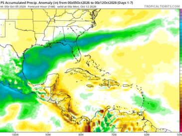
Forecast guidance shows the system’s broader footprint stretching from the western Gulf north toward the Louisiana, Mississippi, and Alabama coastline. Lower signals extend toward the upper Texas coast and the Florida Panhandle.
Widespread Weekend Rain Possible Across the Gulf Coast and Deep South
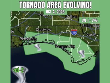
There is a good chance the system will bring widespread rain to the Gulf Coast and the Deep South this weekend. Areas from coastal Texas through Louisiana, Mississippi, Alabama, and the Florida Panhandle could be affected.
However, it is still too early to forecast specific rain placement and amounts. The exact track and strength of the system will determine which areas see the heaviest rain.
Gulf Coast Residents Should Monitor Updates Through the Week
Residents along the Gulf Coast should keep a close eye on forecast updates as the system develops. Details on its track, strength, and timing will become clearer later in the week.
Now is a good time to review hurricane plans and check emergency supplies without panic. If the system becomes a tropical storm, it will take the name Isaias.
Stay with bananatreenews.today for the latest weather updates and local forecast coverage.